SUNVILLAS - HUA HIN BLUE LAGOON - LOCATION
What is around you
Hospitals, golf, shops and sights, and how far they are. Road distance from the compound, with typical drive time without traffic.
↑
NScroll to zoom, drag to move
Map data © OpenStreetMap contributors. Satellite imagery: Source: Esri, Vantor, Earthstar Geographics, and the GIS User Community.
Satellite image: Esri, Vantor, Earthstar Geographics
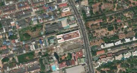
Hua Hin Hospital (public)
Hospital - Hospitals
8.8 km by road - 8 min
6.4 km in a straight line
Satellite image: Esri, Vantor, Earthstar Geographics
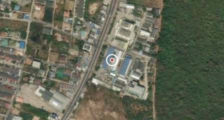
San Paolo Hospital Hua Hin
Hospital - Hospitals
12.4 km by road - 10 min
11.3 km in a straight line
Satellite image: Esri, Vantor, Earthstar Geographics
Bangkok Hospital Hua Hin
Hospital - Hospitals
13.6 km by road - 11 min
12.4 km in a straight line
Satellite image: Esri, Vantor, Earthstar Geographics
Cha-Am Hospital (public)
Hospital - Hospitals
18.4 km by road - 16 min
16.2 km in a straight line
Satellite image: Esri, Vantor, Earthstar Geographics
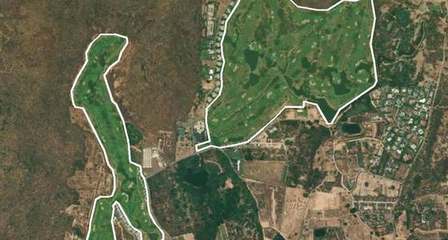
Palm Hills Golf
Golf course - Courses
5.8 km by road - 11 min
3.4 km in a straight line
Satellite image: Esri, Vantor, Earthstar Geographics
Imperial Lake View Golf
Golf course - Courses
15.4 km by road - 30 min
8.4 km in a straight line
Satellite image: Esri, Vantor, Earthstar Geographics
Black Mountain Golf
Golf course - Courses
20.7 km by road - 25 min
8.2 km in a straight line
Satellite image: Esri, Vantor, Earthstar Geographics
Springfield Royal Country Club
Golf course - Courses
16.8 km by road - 21 min
10.7 km in a straight line
Satellite image: Esri, Vantor, Earthstar Geographics
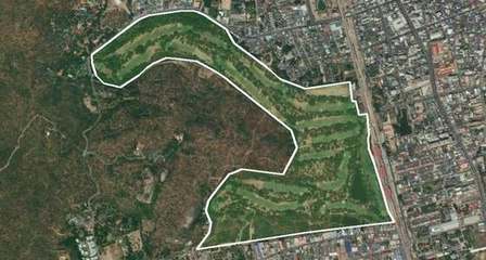
Royal Hua Hin Golf
Golf course - Courses
14.6 km by road - 15 min
11.0 km in a straight line
Satellite image: Esri, Vantor, Earthstar Geographics
FN Outlet
Outlet mall - Everyday shopping
2.1 km by road - 3 min
0.4 km in a straight line
Satellite image: Esri, Vantor, Earthstar Geographics
Makro
Wholesale store - Everyday shopping
6.0 km by road - 6 min
5.0 km in a straight line
Satellite image: Esri, Vantor, Earthstar Geographics
Villa Market (imported foods)
Supermarket - Everyday shopping
7.9 km by road - 7 min
7.3 km in a straight line
Satellite image: Esri, Vantor, Earthstar Geographics
Big C, Hua Hin
Supermarket - Everyday shopping
12.4 km by road - 11 min
9.9 km in a straight line
Photo: Jarcje, CC BY-SA 4.0, via Wikimedia Commons (cropped)
Market Village mall
Shopping mall - Everyday shopping
14.5 km by road - 14 min
11.9 km in a straight line
Photo: Vano111ru, CC BY-SA 4.0, via Wikimedia Commons (cropped)
BluPort mall
Shopping mall - Everyday shopping
14.6 km by road - 13 min
13.0 km in a straight line
Satellite image: Esri, Vantor, Earthstar Geographics
Lotus's, Cha-Am
Supermarket - Everyday shopping
17.1 km by road - 14 min
15.0 km in a straight line
Satellite image: Esri, Vantor, Earthstar Geographics
Siam Venezia
Attraction - Markets and things to do
2.9 km by road - 4 min
1.6 km in a straight line
Photo: Manoonp, CC BY-SA 3.0, via Wikimedia Commons (cropped)
Mrigadayavan Palace
Royal palace - Markets and things to do
8.7 km by road - 14 min
3.8 km in a straight line
Photo: Slyronit, CC BY-SA 4.0, via Wikimedia Commons (cropped)
Hua Hin Night Market
Night market - Markets and things to do
11.1 km by road - 10 min
10.5 km in a straight line
Photo: Wutthichai Charoenburi, CC BY 2.0, via Wikimedia Commons (cropped)
Cicada Market
Market - Markets and things to do
15.3 km by road - 13 min
14.6 km in a straight line
Satellite image: Esri, Vantor, Earthstar Geographics
Black Mountain Water Park
Water park - Markets and things to do
20.9 km by road - 24 min
9.8 km in a straight line
Satellite image: Esri, Vantor, Earthstar Geographics
Vana Nava Water Park
Water park - Markets and things to do
16.0 km by road - 14 min
14.8 km in a straight line
Photo: Bebiezaza, CC BY-SA 4.0, via Wikimedia Commons (cropped)
Hua Hin Airport
Airport - Airport, bus and train
3.7 km by road - 6 min
3.2 km in a straight line
Satellite image: Esri, Vantor, Earthstar Geographics
RRC bus station, Hua Hin
Bus station - Airport, bus and train
4.3 km by road - 4 min
3.8 km in a straight line
Photo: Suikotei, CC BY 4.0, via Wikimedia Commons (cropped)
Hua Hin railway station
Railway station - Airport, bus and train
12.0 km by road - 10 min
11.2 km in a straight line
Photo: Suikotei, CC BY 4.0, via Wikimedia Commons (cropped)
Cha-Am railway station
Railway station - Airport, bus and train
17.3 km by road - 15 min
15.0 km in a straight line
Satellite image: Esri, Vantor, Earthstar Geographics
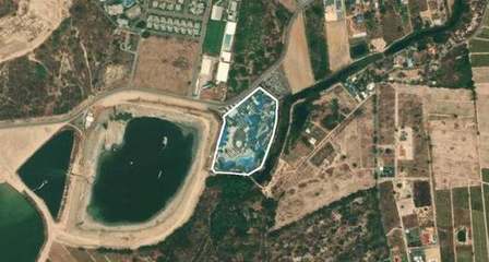
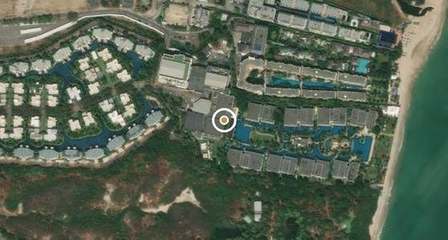
Sunvillas compound
The compound
Pin at compound level (the site's own map point).
Satellite image: Esri, Vantor, Earthstar Geographics
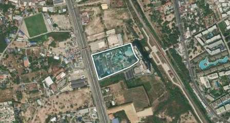
Lagoon pool
The lagoon
Lagoon pool, 1.25 km long (the site's wording).
Satellite image: Esri, Vantor, Earthstar Geographics
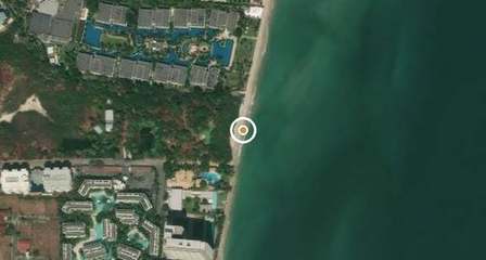
Beach
The beach
8 minutes on foot (the site's wording); 452 m in a straight line to the nearest coast.
Satellite image: Esri, Vantor, Earthstar Geographics
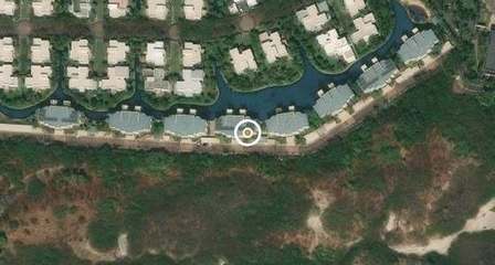
Sheraton Hua Hin
Neighbour resort
Sheraton Hua Hin, next to the lagoon.